TIME: 9:30 am — 4:00 pm
VENUE: St Austell Printing Company Ltd, St Austell Business Park, St Austell, PL25 4EJ
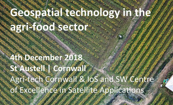
We invite farmers, agricultural service providers, government agencies, research institutes, data providers, digital businesses and others to engage in a one-day event to explore the opportunities for geospatial technology in the agri-food sector. Geolocation services, satellite communications and earth observation techniques have the potential to transform the way we grow, harvest and distribute food across the UK and around the world.
Businesses will showcase their use of geospatial technologies and share their vision for how the agri-food sector could achieve greater growth at lower cost and impact on the environment. Hear from stakeholders with unique perspectives on the challenges facing the agri-food sector and their call to businesses to provide technological solutions. Join our facilitated session to identify opportunities in the agri-food sector to innovate, before learning about the leading R&D taking place in research institutes across the SW, and how you can get involved.
AGENDA
09.30 Registration and coffee
10.00 Welcome and introductions
Robin Jackson, Agri-tech Cornwall Project
Natalie Gawor, South West Centre of Excellence in Satellite Applications
10.15 Business and Technology Spotlight
Tim Hopkin, Founder, The Land App
Tim will present The Land App – a land management tool for farmers, surveyors, and public agencies alike – that overlays multiple datasets in a map-based format.
Rob Sanders, Co-founder, Glas Data
Rob will share Glas Data’s vision to streamline data management for farm business owners and give an insight into the company’s journey to date to develop a cloud based system to unify agricultural data.
Saravana Gurusamy, Project Manager, Rezatec
Saravana will share details of Rezatec’s agricultural monitoring activities in Mexico funded by the UKSA International Partnership Programme.
https://www.rezatec.com/resources/projects/mexican-compass/
11.00 Challenge Perspectives
Jenny Clark, Senior Technical Assistant, LEAF (Linking Environment and Farming)
Jenny will share the findings of a recent LEAF report, Outcome-Based Biodiversity Approaches, and explore the potential need for geospatial technology to monitor the outcomes of different agricultural practices.
Philip Dolbear, Knowledge Exchange Manager South West, AHDB
Philip will share insights into AHDB’s benchmarking work with farmer groups on cereals & oilseeds.
https://cereals.ahdb.org.uk/regions
Caroline Robinson, Founder, Clear Mapping Co
Caroline will discuss the opportunities around the Geospatial Commission and how this can enable land-managers and rural surveyors to utilise open data for a changing regulatory environment.
11.45 Facilitated session: Geospatial technology in the agri-food sector
Facilitated by: Mark Jarman, Head of Agriculture, Satellite Applications Catapult
12.45 Lunch
13.30 Research Innovations
Automated brassica harvesting, Dr Martin Stoelen, University of Plymouth
Martin will present the ground-breaking technology in development which could assist fruit and vegetable growers with the challenges they face in harvesting crops.
www.plymouth.ac.uk/research/institutes/sustainable-earth/agri-tech
Climatehub – Microclimatic modelling for novel crops, Dr Ilya Maclean, University of Exeter
Ilya will present an approach to modelling microclimates to support farmers identify opportunities for new crops and how to manage pest and disease risks at different locations.
Fungal pathogen management in viticulture, Dr Andy Matthews, University of Exeter
Andy will present on the technical and biological interventions for the management of Botryis cinerea fungus and fruit set issues in the production of Cornish grapes.
Farm Crap App, Dr Chris Hodgson, Rothamsted Research
Chris will present on the development of an easy to use, accurate and reliable way to manage and record slurry spreading information and data on manure.
www.swarmhub.co.uk/the-farm-crap-app-pro
The Soil Carbon Project, Becky Willson, Duchy College
Becky will present on the development of methodologies to enable farmers, contractors and consultants to manage soils in a more sustainable and profitable way.
www.agritechcornwall.co.uk/projects/farm-carbon-cutting-toolkit
14:30 Refreshments
14:45 Funding Opportunities
Agri-tech Cornwall, Caroline Hanlan, Cornwall Development Company
Aerospace Cornwall, Peter Munro-Lott
ESA Business Applications Programme, Donna Lyndsay
15:30 Wrap-up: Geospatial technology – needs and opportunities in the agri-food sector
15:55 Closing Remarks